- nripage
- 03 Apr 2025
- #AI & Robotics
What to Expect:
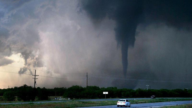
- Hail: While egg-sized hail is possible in isolated areas, most locations will see smaller hail or no hail at all.
- Wind: Gusts may reach up to 60 miles per hour, capable of causing localized damage.
- Tornadoes: The risk is very low, mainly confined to spots right along the warm front.
Timeline Based on Location:
- Western DFW Metroplex: Peak storm activity from 2 a.m. to 8 a.m.
- Eastern DFW Metroplex: Higher chances from 4 a.m. to 10 a.m.
- South/Southeast of DFW: Likely out of the path of the most intense storms.
- Cooler air and northern winds will dominate the day after storms clear.
- Patchy rain is possible west and northwest of DFW during the afternoon/evening.
- Sunday will be dry but chilly, with wind chills in the 30s early on and highs stuck in the 50s, well below the seasonal average of 75°F.
- Stay indoors during storms.
- Charge mobile devices and keep alerts on.
- Park vehicles in sheltered areas if possible.
- Stay tuned to local news and weather updates.